Ski Report – El Nino Dumps on El Tahoe! You Should See Lake Tahoe’s Highest Peaks
The classic Tahoe dump is happening right now. It’s the kind of snowfall that will be recalled for years to come in a litany of tall tales that start with “Do you remember the snow of January 2010?”
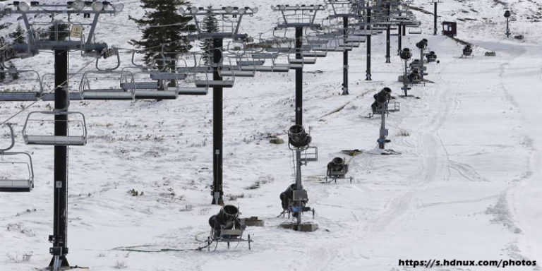
A series of winter storms that began during the Martin Luther King holiday on January 17 delivered a couple of feet of snow to Lake Tahoe’s highest peaks and nearly a foot at lake level. But that’s just the beginning. As the week progresses, the storms are expected to become more ferocious, with colder temperatures and more precipitation. By Saturday, the Sierra crest will most likely have 10 feet of fresh snow. Forecasters are expecting this to be the most snow-producing series of storms the Sierra has seen in the last five years. It looks like El Niño is here to stay for the rest of January.
As of Tuesday, January 19, …